Earthquake occurs west of Vancouver Island as seismic activity detected near Victoria and in Washington state
An offshore earthquake struck once again in a seismically active region off the northern end of Vancouver Island while other minor seismic activity was detected near Victoria and in Washington State on the same day.
The tremblor occurred at 7:23 p.m. on January 16.
Earthquakes Canada recorded it as a 4.1-magnitude earthquake while the U.S. Geological Survey measured it as a 4.2-magnitude quake.
The epicentre, at a depth of 10 kilometres (6 miles) was located offshore 178 kilometres (111 miles) west of Port Hardy and 525 kilometres (326 miles) northwest of Vancouver.
According to Earthquakes Canada, there weren’t any reports of damage and a tsunami was not expected.
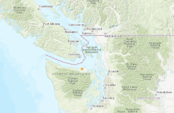
Not long after that at 7:47 p.m., the U.S. Geological Survey recorded a 2.8-magnitude quake on the Washington State side of the Strait of Juan de Fuca.
The epicentre, at a depth of 42 kilometres (26 miles), was located 2.5 kilometres (2 miles) south of Agnew, Washington; 12 kilometres (8 miles) west of Port Angeles, Washington; and 35 kilometres (22 miles) south of Victoria.
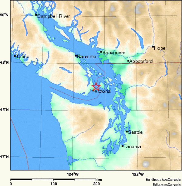
Meanwhile earlier on the same day, Earthquakes Canada also detected very minor seismic activity near Victoria.
At 1:29 p.m., Earthquakes Canada recorded a 1.8-magnitude quake with an epicentre at a depth of 25 kilometres (16 miles) and located 10 kilometres (6 miles) northeast of Victoria and 83 kilometres (52 miles) south of Vancouver.
More


Comments